

Regarding our Yeomans Keylining progress, here are the latest photos with my comments:
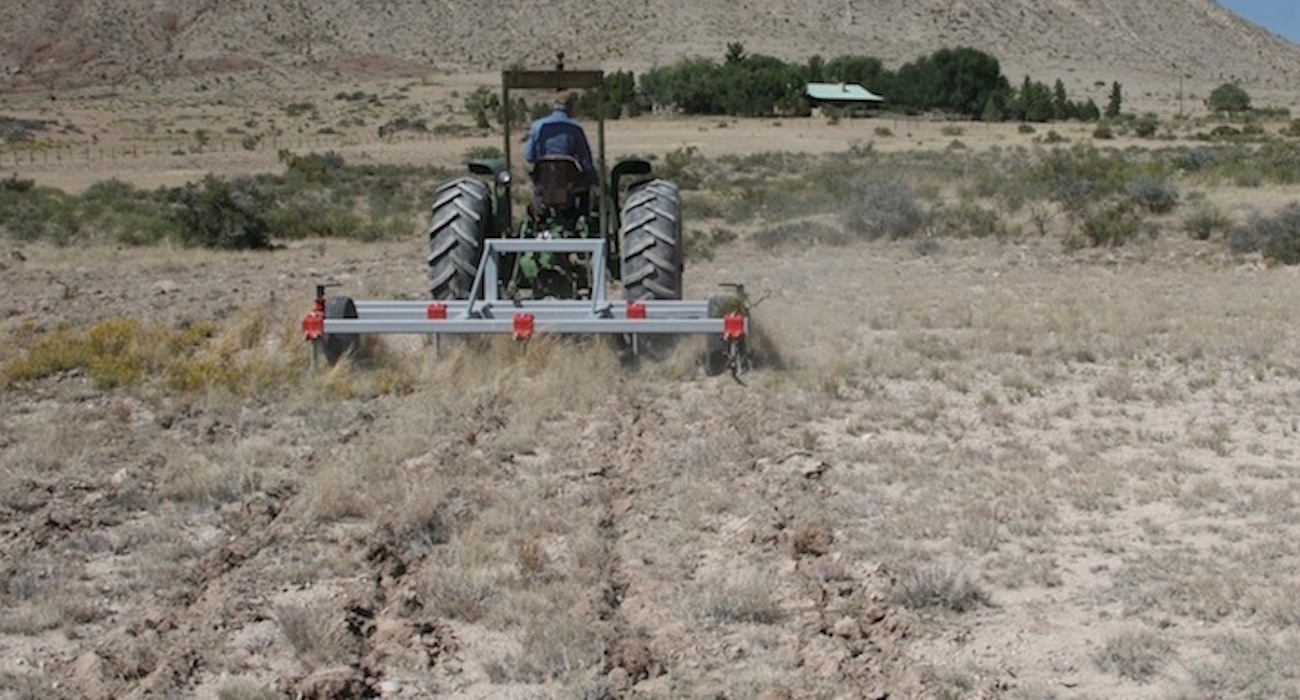

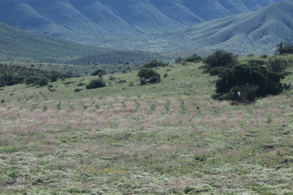
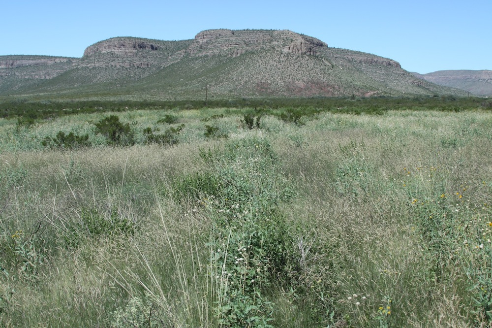
October 1, 2009. Last summer was dry. I chose this spot because we had bare ground and minimal grass respose to several years of rain. Grass was disappearing within the tarbush community seen beyond the tractor.
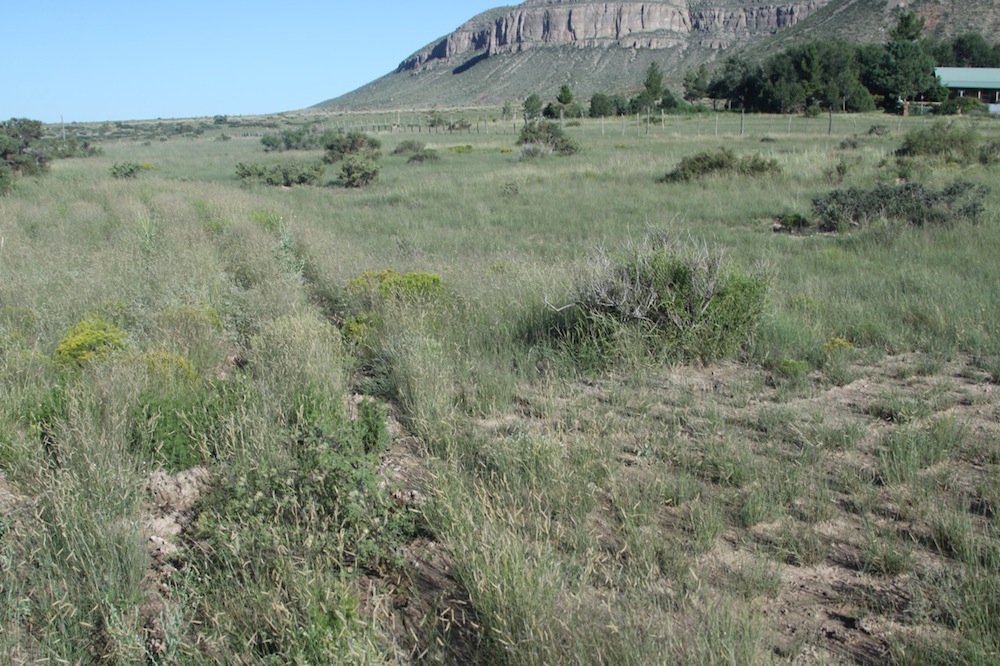

September 4, 2010. Same area of treatment as shown above. Good rains. No sub-soiling was done on the right.
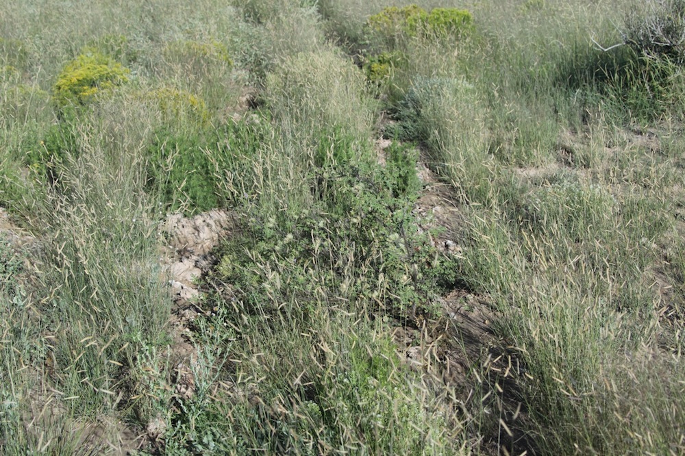
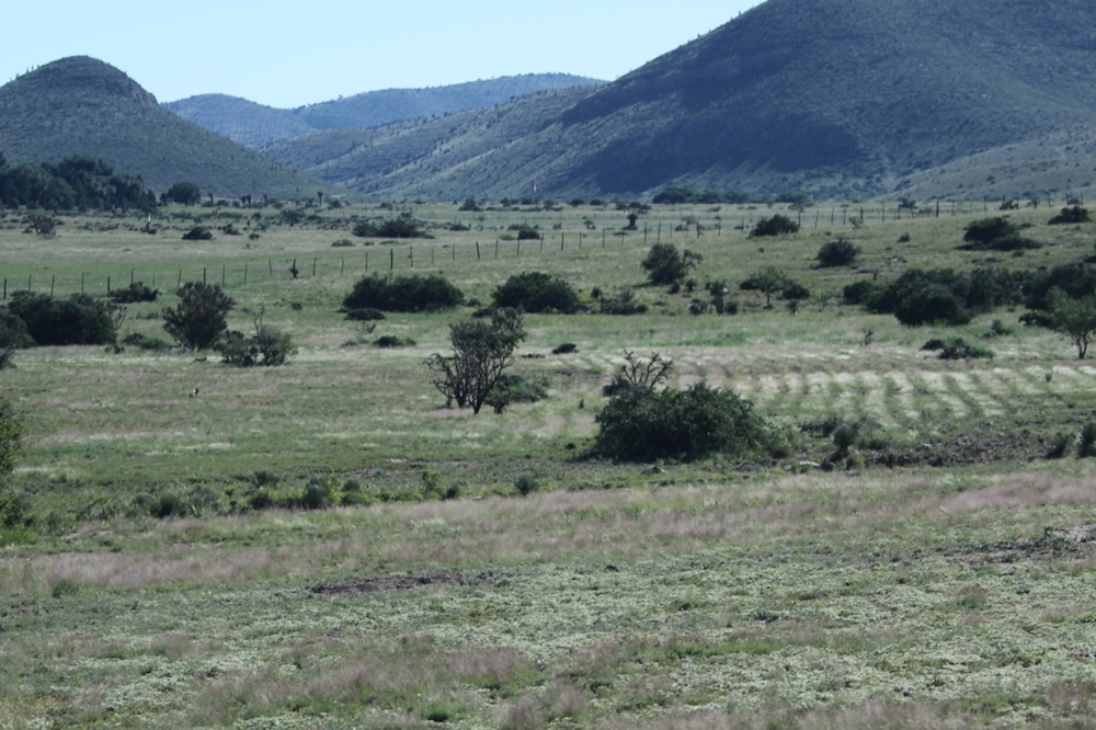
Forbs coming up along the chisel line.

Grass has more seeds, foliation, and note the forbs. No sub-soiling was done above the abundant seed head area.
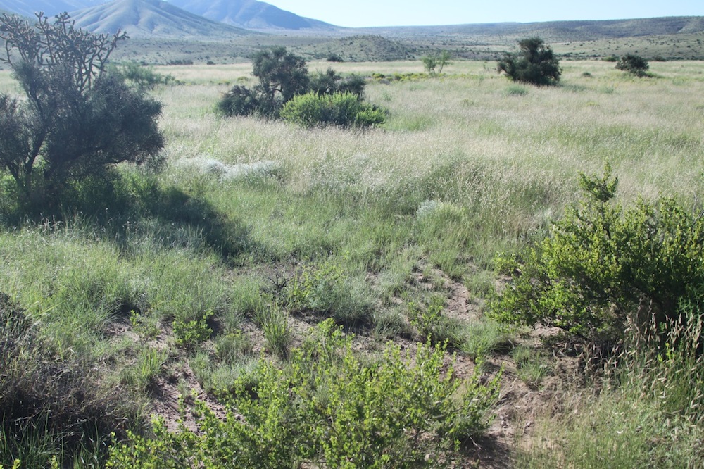
The tractor had to bypass this spot which was between two small trees. Note the difference in plants compared to the uncultivated area. Entire area below was subsoiled.
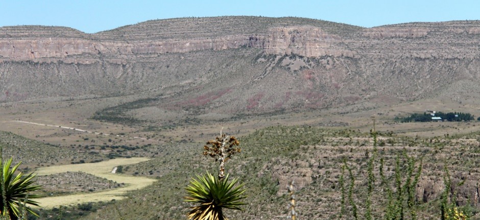
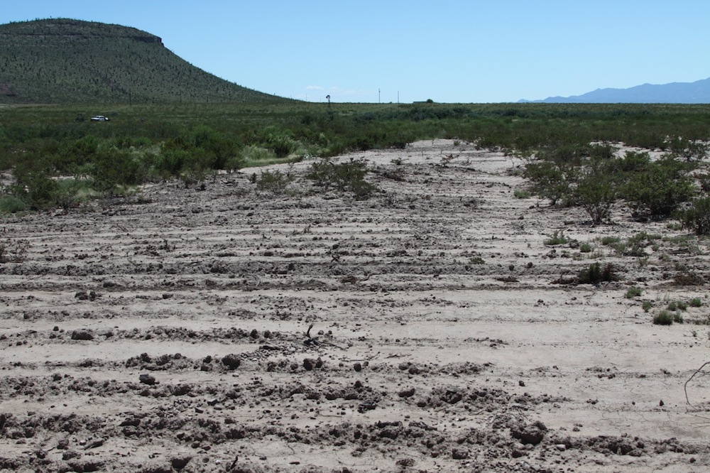
Here we are seeing a prairie dog town. A south-facing aspect, and shallow soil reduces the depth of the chisel run. We are trying to control the headcut shown below, and also a deep gully formed downstream.
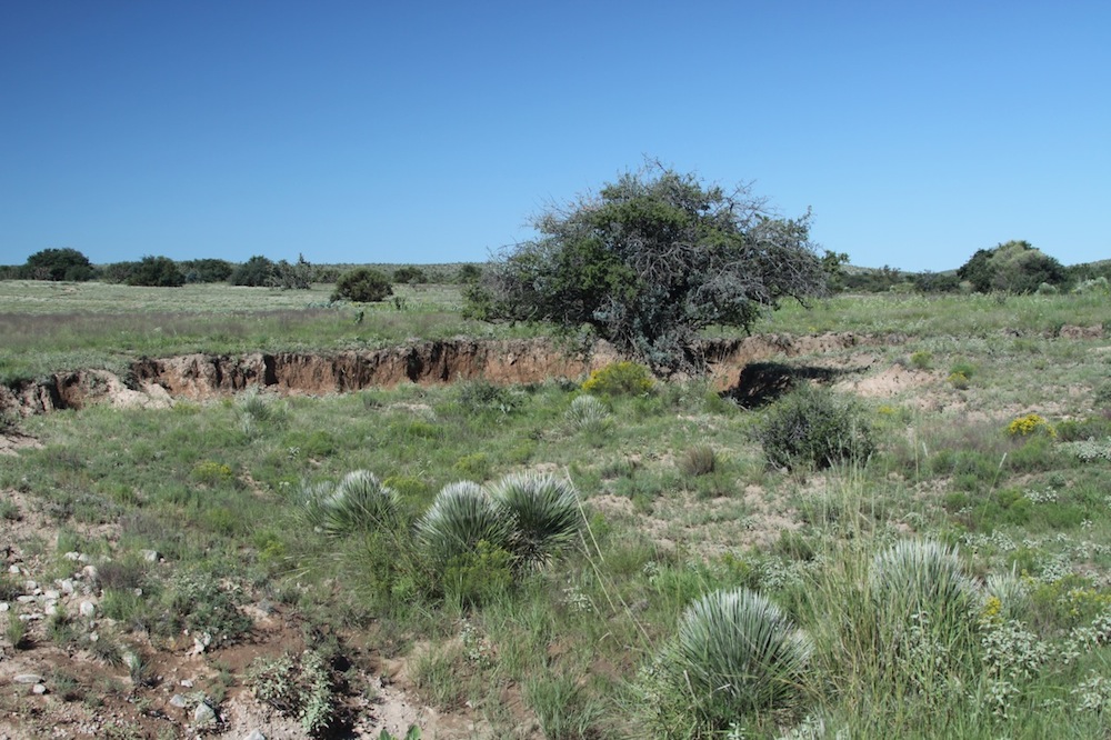
We are treating the area above this to starve the headcut which is going on up the meadow above.

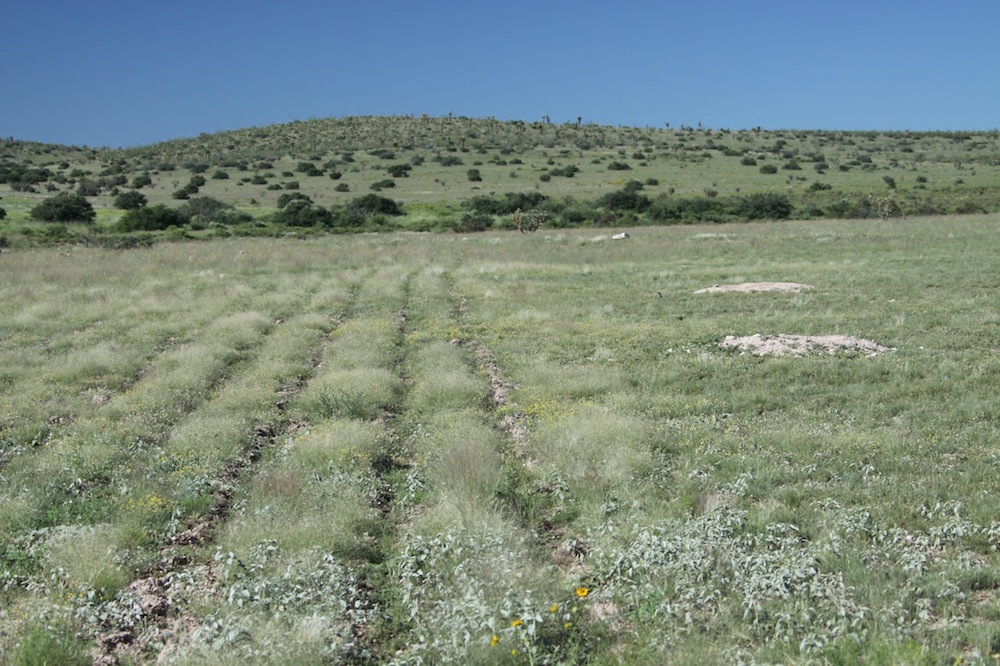
We went as high as we could, until soil became rock ledges, and slopes got steep. The plow ran pretty shallow in this picture.
The general idea is to keep the water out of the gully. But doing this also helps the grasses, and encourages forbs. The white strips are headed-out grass plants. Forbs in between. Compare seed production with the untreated area at mid-left of photo.
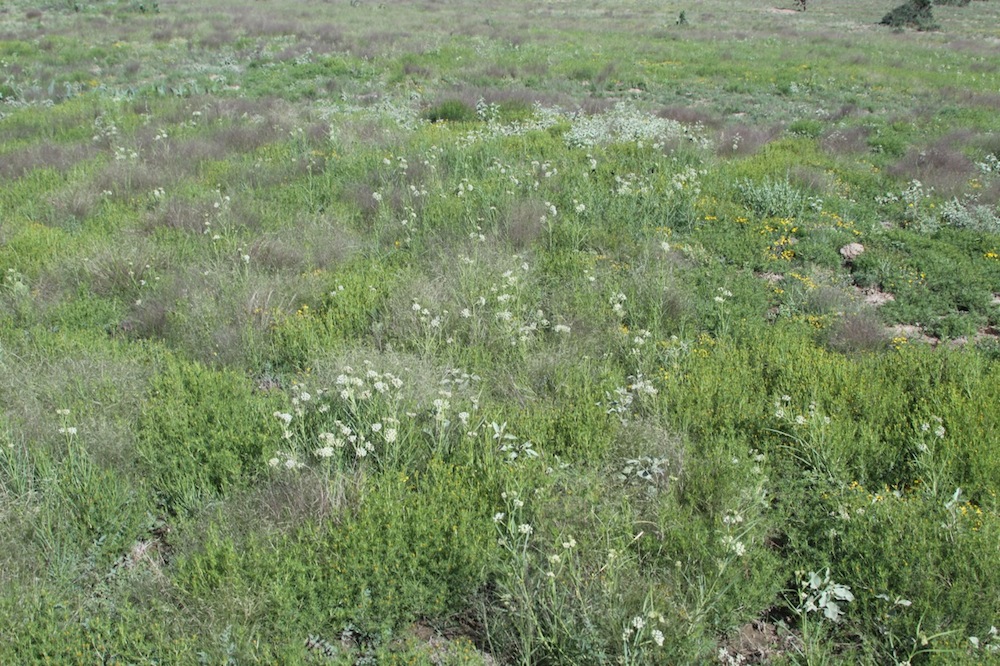
Lots of new forbs; really lots of them in some places, but not in all. It seems to depend on whether the plow ran deep, but maybe it is soil depth that controls both plow depth and plant response.
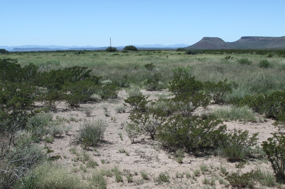
To me this is the most surprising outcome. In the foreground is untreated area (we have pipelines in here and had cut them twice). Background is treated. Note that this was bare ground with creosote, with here-and-there grass hanging on, like the foreground. The soil crust is at least four inches thick, but the soil is very fine and very, very deep though low in organics.
The forbs form solid strips along the chisel line, and the grass has filled out between the chisel furrows. You can no longer see the plow lines. Also, note the tops of the taller creosote & tarbush plants peaking above the forbs and grass which is now higher. This was done in June, before the monsoons began. So all this growth was from July 4 – September 4. The white flecks in the background is white bare ground showing through the canopy of creosote.
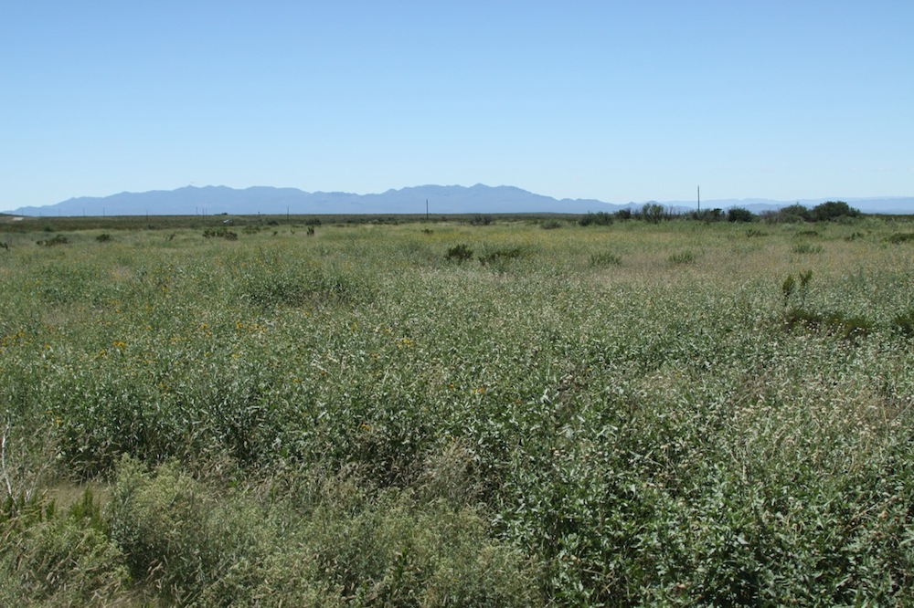
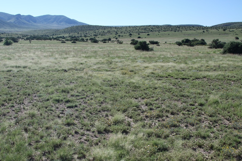
Rains have been good but this area often got rain and runoff, and animal impact.
We also treated along a slope above the bottom. Note the creosote in the foreground, the millet (milo was a bust) , and the grass with lots of seed. Beyond the bottom you can see the bare ground which was not subsoiled.

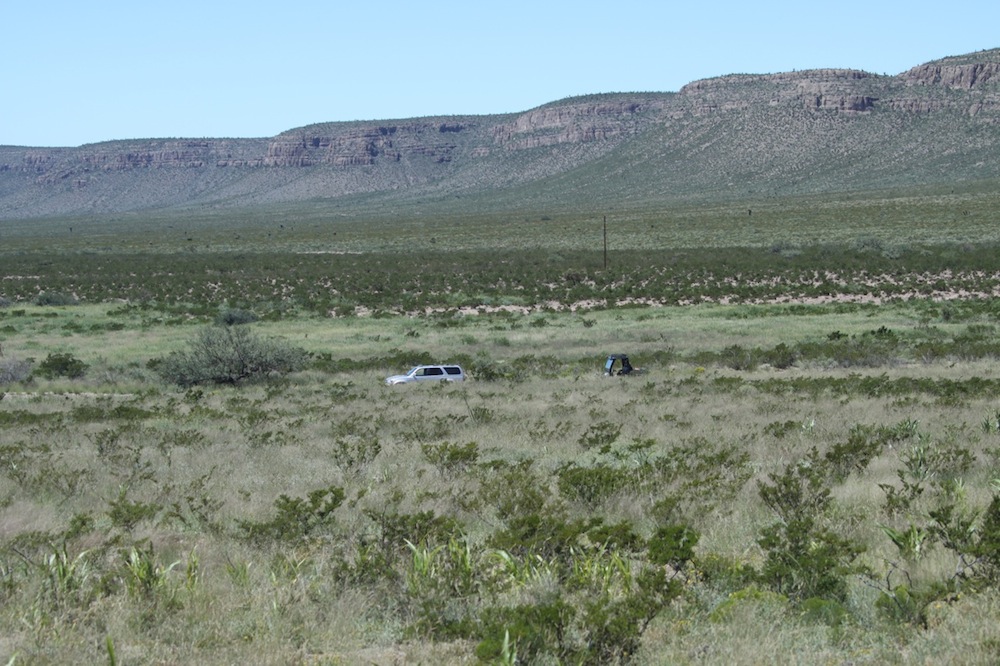
Lower left corner not treated. Note the sub-soiled bottom below the road. Below, we treated about 1/2 mile by 300 feet: about 17 acres. It cost about $175.00 counting only diesel and labor. For the burn advocates (which I am not): a fire will now carry through the subsoiled area if the burn plan is to remove tarbush (Flourensia cernua) and creosote (Larrea tridentata). That area below the road has tarbush/creosote like what you see beyond: it is just that the forbs and grass are now higher! Maybe the extra soil moisture and competition will take care of the creosote and tarnish. Just my speculations concerning whether we might consider this as a cheap, and, plant & soil life-friendly means of brush control.
This was treated just before our last rain. There are not many surviving plants to be the pioneers as in the other photos above. We will watch and see what happens.
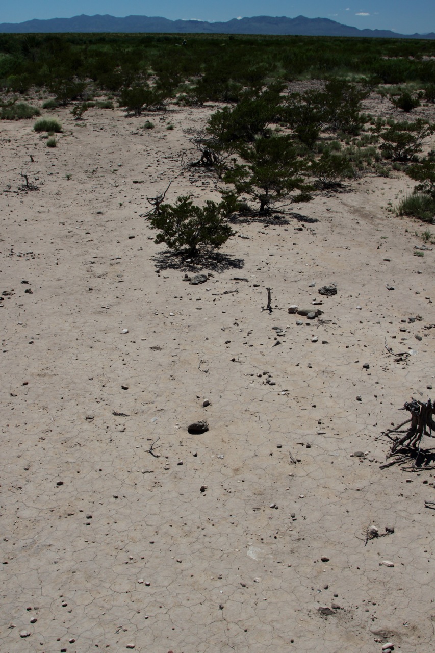

This spot has gotten 15” of rain, and considerable runoff, since last October. We have many places like this which have not responded to rain or to animal impact. 900 animals were in this pasture this winter, but then, what motive would any of them have to linger on this spot?! So dry the creosote is dying, and, note the surface erosion. I am very glad to have found something that seems to work on places like this, and surprised that these might respond better than other, healthier spots, as the photos above show. Why is this so? Maybe because the soils are so deep? So permeable once the 4” crust is broken? Have trapped minerals?
Again, a disclaimer: I do not want to over-state. And yet, the pictures speak for themselves. Total rain, and timing of that rain, has been really great. Not all the areas treated are as dramatic as some of these pictures, but the results are noticeable, without exception, in all treated areas. I do not know if these results are flashes-in-the-pan, or if in combination with planned grazing, the responses can be sustained in years to come (but why not?). I am very pleased to have a cheap and physiologically-effective way to ramp up forb production for quail, doves, pronghorn and deer and also bring back these sick grass plants in these seemingly-intractable areas. I really like the idea of not harming existing plants, forbs, and soil life, as with spike and most plows. In my preliminary opinion, there are many intriguing possibilities for wildlife as well as plants, gully treatment, etc. when this little plow is used as an add-on to planned grazing, treating those areas which for whatever reason do not respond to animals or grazing timing.
I would like to show NRCS staff these results as I think this particular soil technique merits EQUIP or WHIP support in some form or fashion. It might be a great way for NRCS to get more bang-for-its-buck in these under-funded times.
So far so good. Stay tuned!